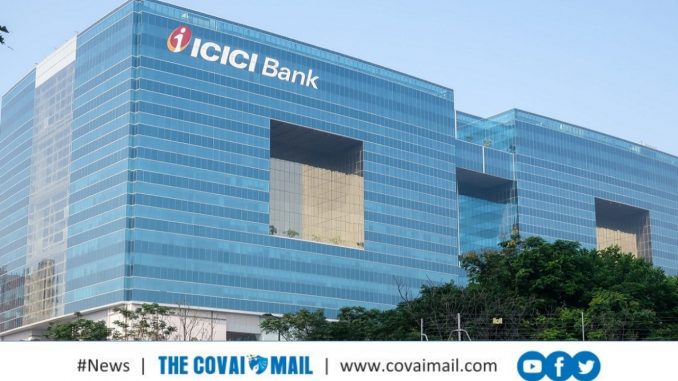
ICICI Bank announced on Tuesday the usage of satellite data—imagery from Earth observation satellites—to assess credit worthiness of its customers belonging to the farm sector.

This use of innovative technology helps farmers with existing credit to enhance their eligibility, while new-to-credit farmers can now get better access to credit. Additionally, since the land verification is done in a contactless manner with the help of satellite data, credit assessments are being done within a few days as against the industry practice of upto 15 days.
The Bank has been using satellite data for the past few months in over 500 villages in Maharashtra, Madhya Pradesh and Gujarat and plans to scale up the initiative.
This initiative gains significance at a time when people are advised to stay indoors and avoid travel in the wake of the Coronavirus pandemic. This use of satellite data provides quick and technically sound analysis of the land, crop and irrigation patterns from remote locations, without the need of the customer or a bank official having to visit the land.
